
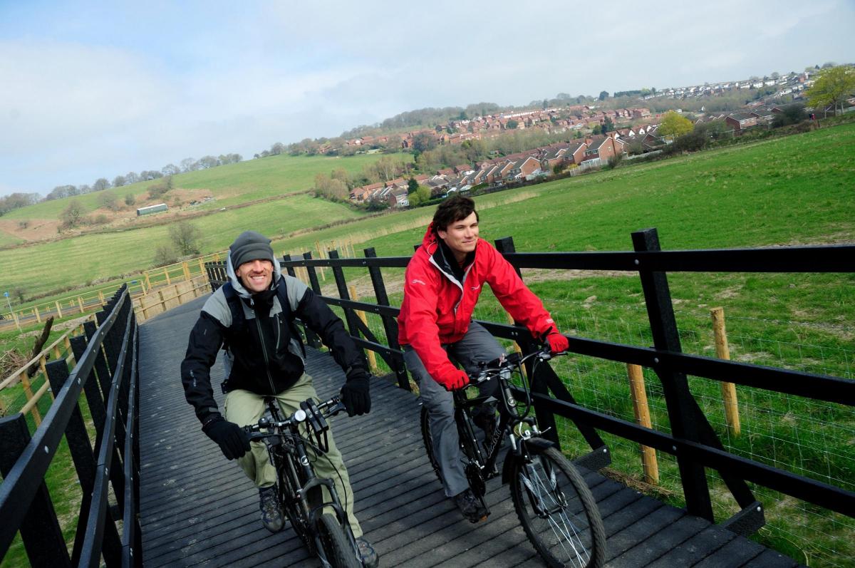
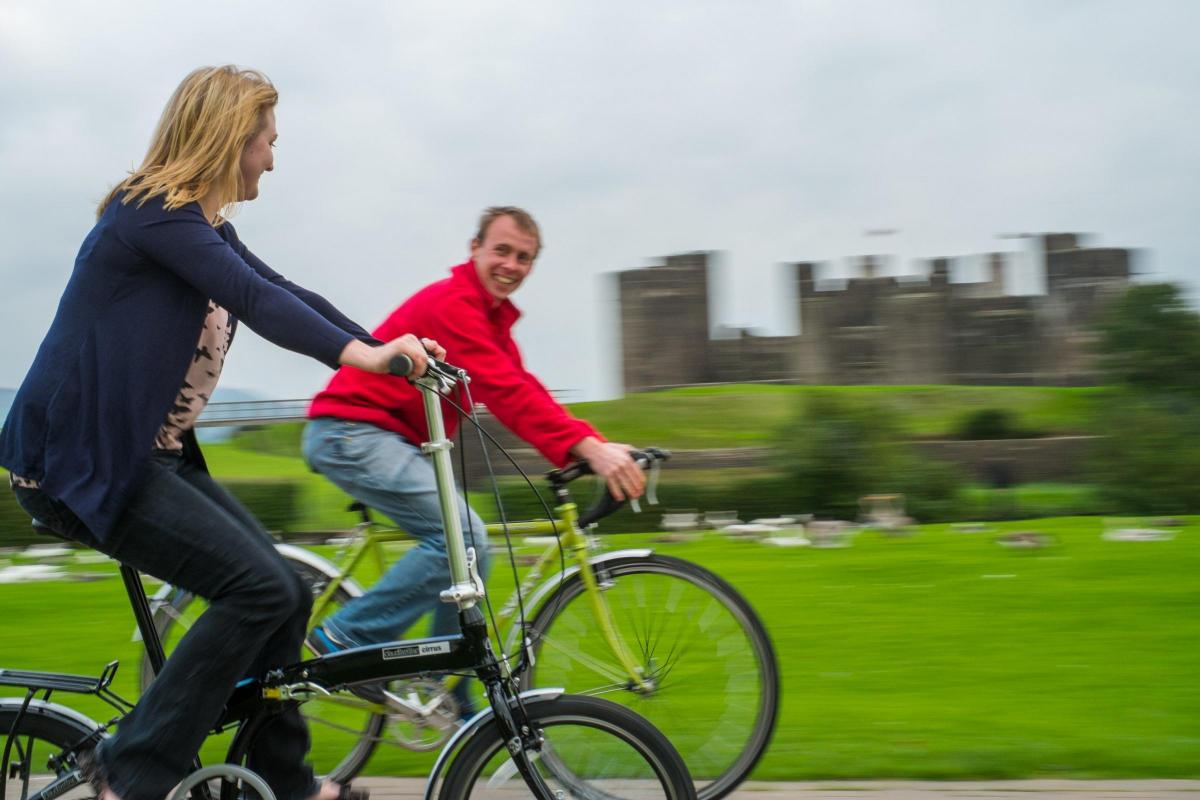
The National Cycle Network stretches 14,700 miles across the UK. CARYS THOMAS finds out where the cycle paths are in Gwent.
THE cycle network is a series of safe, traffic-free lanes and quiet on-road routes which connect to major cities in the UK. It was officially created in 1995 thanks to a £42.5 grant from the National Lottery and was developed by Sustrans, a leading UK charity which enables people to travel by foot, bike or public transport for more of everyday journeys.
The charity now coordinates the development of the network by working with Local Authorities and partner organisations to identify future routes.
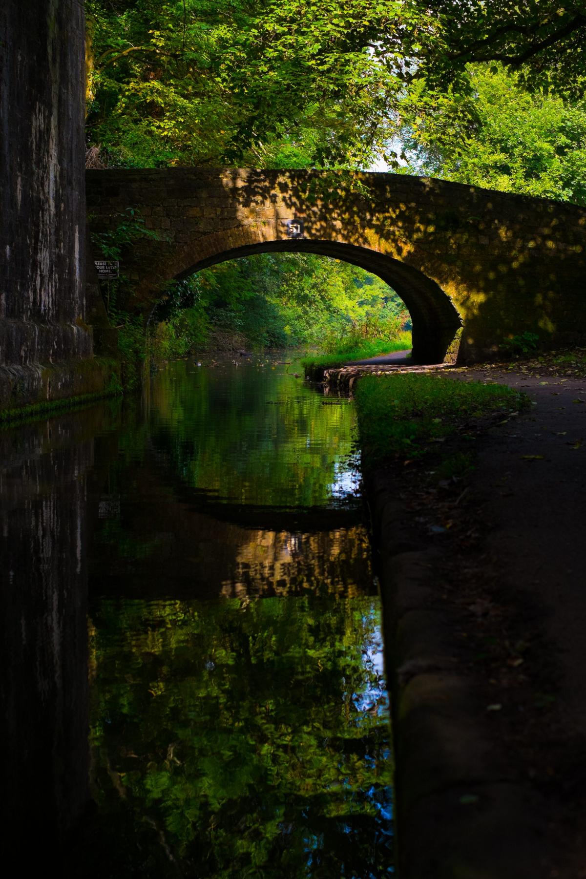
One of the routes in Gwent is alongside the Monmouthshire and Brecon Canal. Route 49 runs through Monmouthshire from Abergavenny to Newport.
It is a 20 mile cycle along the canal towpath to the River Usk. Route 492 also runs alongside the canal but branches from route 49 at Forge Hammer in Cwmbran and runs northwards to Pontypool.
Both routes stop at the Pontymoile Canal Basin. The route then continues northwards from Pontymoile along the canal towpath to the boundary with the County Borough of Monmouthshire at Mamhilad.
Route 492 starts at the Riverside Centre and finishes at Pontymoel Canal Basin, Pontypool. The majority of the surface is gravel as it follows the riverside path and canal towpath alongside the Monmouthshire and Brecon canal to connect to Newport.
From Newport, you follow a path alongside the River Usk, before joining National Route 49 north along the Monmouthshire and Brecon Canal towpath all the way to Pontymoile Canal Basin in Pontypool.
The canal is now open following recent repairs. Attractions along the way include the Fourteen Lock Canal Centre and Pontypool Park.
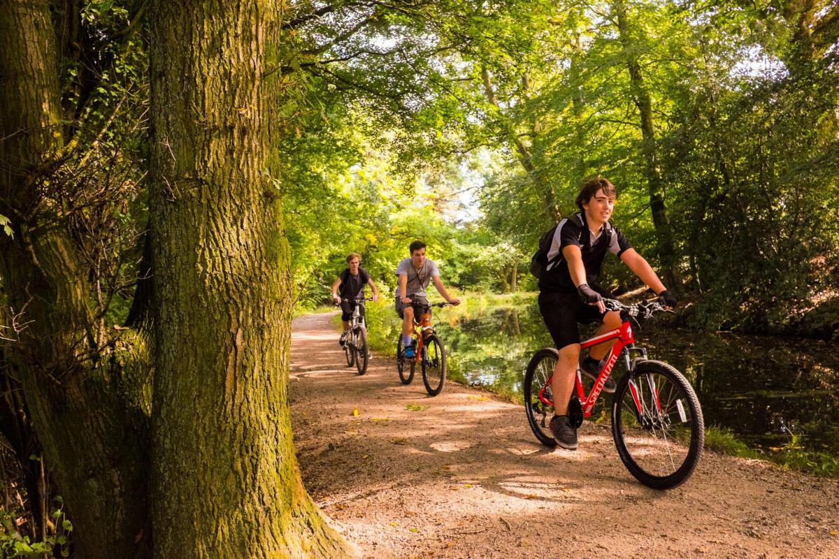
From Pontypool you can continue North to the Garn Lakes at Blaenavon along Route 492, the traffic-free Pontypool / Blaenavon Cycle Route which follows the line of an old mineral railway.
Route 492 takes you from Cwmbran towards Brynmawr via Blaenavon, with splendid views of the Pontypool and Blaenavon Railway.
Gwyn Smith, Sustrans’ area manager for South East Wales, said, “Whether you’re going to visit a friend, taking the kids to school or fancy a family day out to enjoy the beautiful Welsh scenery, the National Cycle Network in south Wales can provide the best way to get around.
“With routes being traffic-free or on quiet back streets, the NCN is suitable for all ages and abilities to get pedalling. Cycling is a healthy and green way to get around, and it’s also great fun, allowing you to socialise and explore along the way – and is often quicker, too, avoiding traffic jams in our towns.
He added: “We hope that people across south Wales will give it a go this summer, and the NCN is a great way to get around, whatever the journey.”
If you want to cycle from Cwmbran to Brynmawr then route 492 is the path to take. The 15 mile path goes via Blaenavon with the majority of the route traffic free but with some parts on the road.
Route 492 branches from Route 49 at Forge Hammer, Cwmbran and runs northwards to Pontypool. From Pontypool, the route runs along the line of the old mineral railway to Blaenavon and onto Brynmawr.
Sustrans says that this is an easy route, with a gradual uphill incline from south to north.
The path from Cwmbran to Pontypool is a traffic free path by the side of the road that travels via Pontrhyrun and Pontymoile.
The Pontypool to Blaenavon route starts along the Monmouthshire and Brecon Canal near to Pontypool train station, you will pass the Pontymoile Basin, before ascending north from Pontypool through Abersychan to Blaenavon. The path travels through a stretch of woodland with views to the east across the valley of Afon Llwyd before reaching Big Pit National Coal Museum.
The path from Blaenavon to Brynmawr leads to the Garn Lakes on a traffic free path. The lakes cover 40 hectares and a wide range of wildlife can be found.
There is a gap in the route when the route nears the B4248. After this road the route continues into Brynmawr.
The coastal route between Newport and Cardiff is route 88. The cycle track is seven miles from Newport to Caerleon alongside the River Usk. The path is flat and mainly traffic free.
Sustrans says the route is a good alternative to the busy Pillmawr Road and connects University campuses, Newport railway station and provides a safe route to several schools. A boardwalk has been put in place across the floodplain made of recycled material to ensure that the route doesn't flood during high tide.
Ventuiring into Caerphilly, there is The Green Lady trail which goes through the heart of Caerphilly taking in the mighty Caerphilly Castle.
It is an easy trail, starts at the Taff Trail at Nangarw (look out for signs for Route 4), is mainly traffic free and finishes up at Machen 7.5 miles later, having gone through Morgan Jones Park, past the castle, through a quiet residential area to Bedwas industrial estate and the riverside path.
Finally the route crosses the A468 to join up with the Bedwas to Machen cycle path along a section of old railway. Look out for the Forge and Hammer when you arrive at Machen – a quirky 16th-Century pub that really makes you feel like you’ve stepped back in time.
To take a look at more routes visit http://www.sustrans.org.uk/


Comments: Our rules
We want our comments to be a lively and valuable part of our community - a place where readers can debate and engage with the most important local issues. The ability to comment on our stories is a privilege, not a right, however, and that privilege may be withdrawn if it is abused or misused.
Please report any comments that break our rules.
Read the rules here