


PEOPLE can now ‘walk’ some of Wales’ iconic trails and paths from the comfort of their homes using Google Street View.
The new development will give anyone with internet access a 360-degree panoramic view using the tool on Google Maps.
Natural Resources Wales (NRW) has partnered with the tech giants as part of its commitment to help more people get active and enjoy the outdoors.
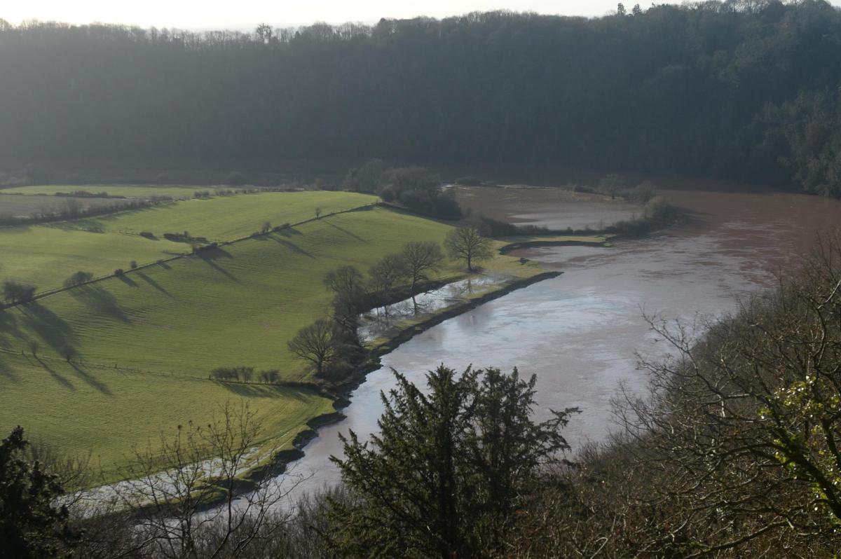
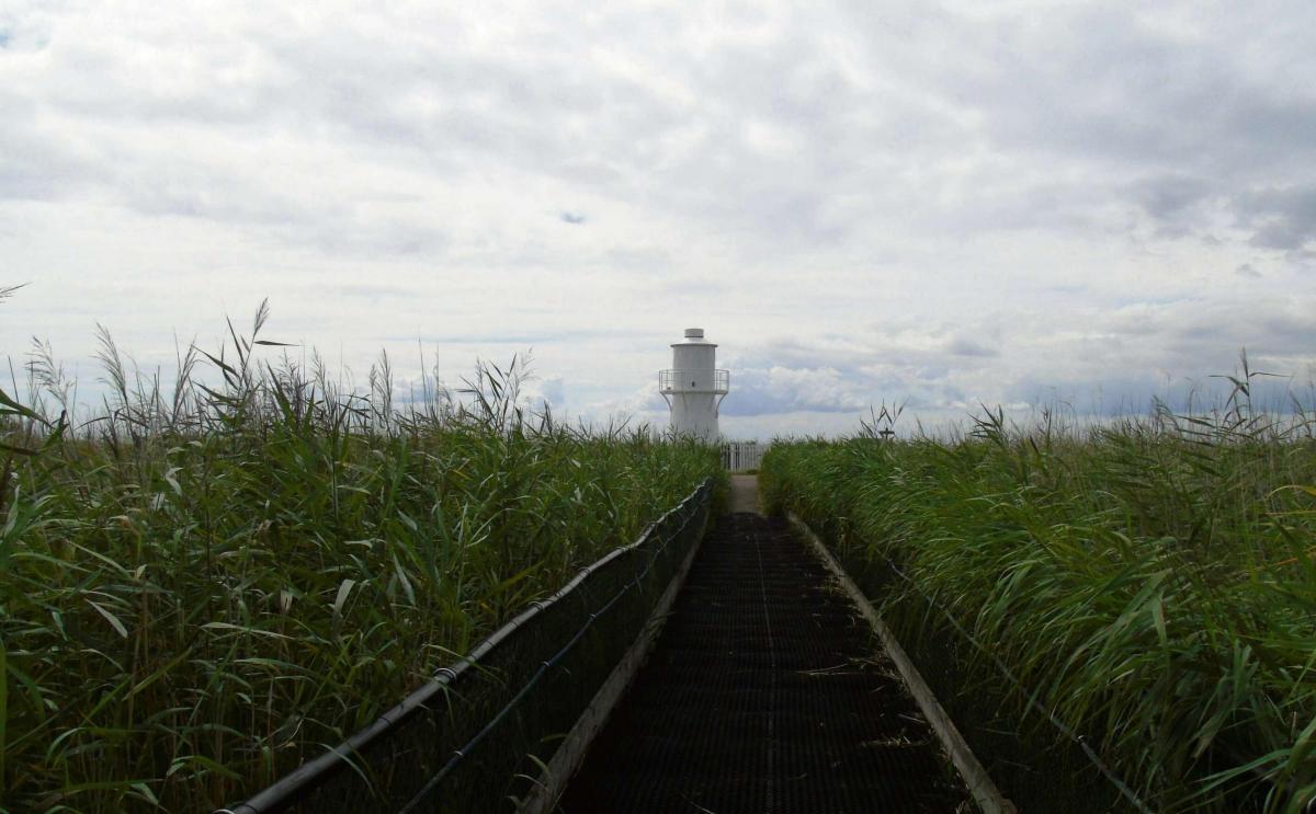
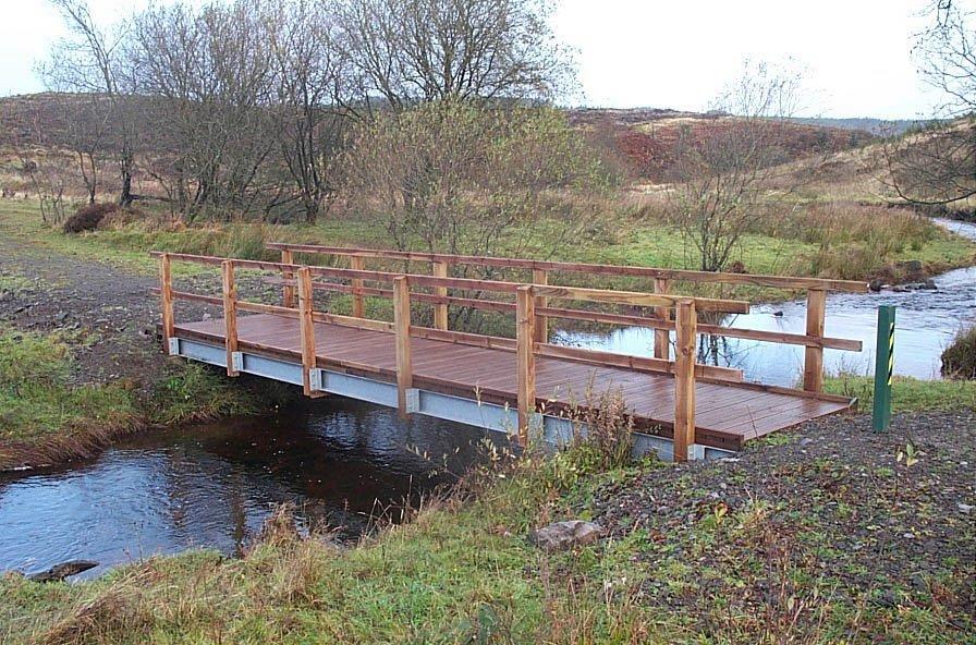
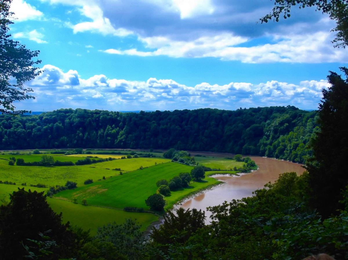
Sites located in and around Gwent that have been included in the project include Newport’s Wetlands National Nature Reserve, the Lower Wye Valley woodlands, and the Usk reservoir loop.
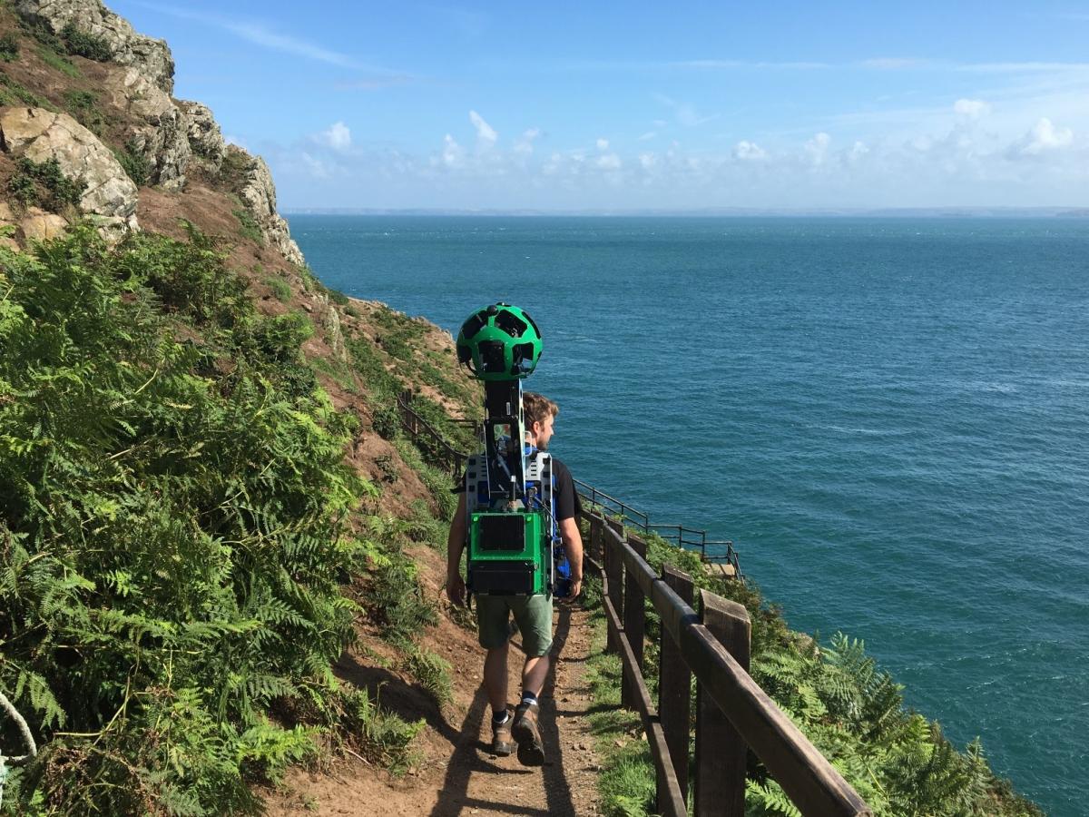
NRW employed more than 60 members of staff to walk over 40 individual routes with a piece of equipment called the Street View Trekker.
The camera is worn like a backpack so NRW could capture trails accessibly only by foot.
Max Stokes, Natural Resources planning officer said: “We look after loads of sites across Wales where people can go running, walking and mountain biking.
“Launching the digital maps with Google means we can now showcase these special places on a global platform.
“We hope that this ‘virtual warden’ experience will encourage more people to get out and enjoy the outdoors.”
More information about the project, and a full list of the mapped sites, can be found at http://tinyurl.com/jbf68q2.
The digital maps can be found on Google Maps.


Comments: Our rules
We want our comments to be a lively and valuable part of our community - a place where readers can debate and engage with the most important local issues. The ability to comment on our stories is a privilege, not a right, however, and that privilege may be withdrawn if it is abused or misused.
Please report any comments that break our rules.
Read the rules hereLast Updated:
Report this comment Cancel