
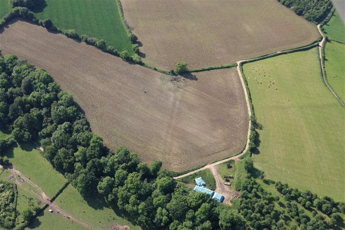
WHILE some people will be dreaming of a spell of rain as the heat wave continues, for aerial photographers and archaeologists the hot weather can reveal a treasure trove of hidden history.
The National Monuments Record of Wales' online database (Coflein), has created an interactive map of sites which become more visible in the dry weather, and have previously been photographed by the Royal Commission on the Ancient and Historical Monuments of Wales.
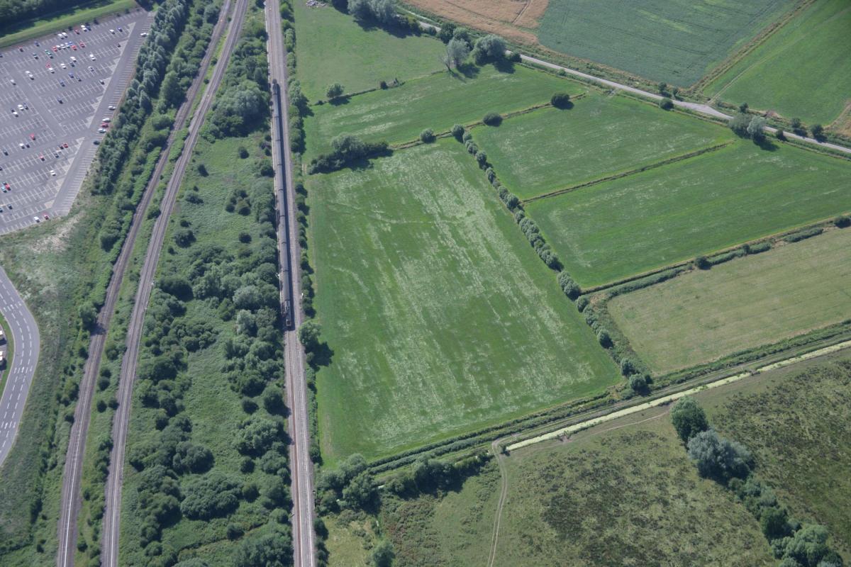
Among the interactive pins on the map are sites which have previously been photographed from the air in Caerleon, Monmouthshire and Newport.
Dr Toby Driver, Senior Aerial Investigator, said he had not seen conditions like this since taking over the archaeological flying at the Royal Commission in 1997.
"So much new archaeology is showing it is incredible; the urgent work in the air now will lead to months of research in the office in the winter months to map and record all the sites which have been seen, and reveal their true significance," said Dr Driver.
"This is an exceptional drought, the like of which Wales hasn’t seen for 40 years. In a normal summer hunting for cropmarks from a light aircraft, different regions of Wales show more marks than others. In 2018, the entire country from north to south is showing incredible new archaeological sites as cropmarks in dry grassland and ripening crops.
"The Royal Commission is the national body for the survey and record of the historic environment in Wales. The urgent work is now: taking the air photos before the rain washes away the drought. The most important discoveries are then circulated quickly to experts in Wales for their opinion, while the new photographs are carefully organized and permanently archived. Then we have several months of work ahead of us recording the new sites, mapping the most complex archaeological monuments and finally publishing the new finds at our online database www.coflein.gov.uk or in the popular and academic press."
You can explore the interactive map yourself at: http://www.coflein.gov.uk/en/site/search/result?PCLASSSUB=500307&SEARCH_MODE=COMPLEX_SEARCH&view=map
In the old county of Gwent, 14 sites are included on the map:
- Wilcrick Moor crop marks
Map Reference: ST48NW
Grid Reference: ST4036887524
Period: Unknown
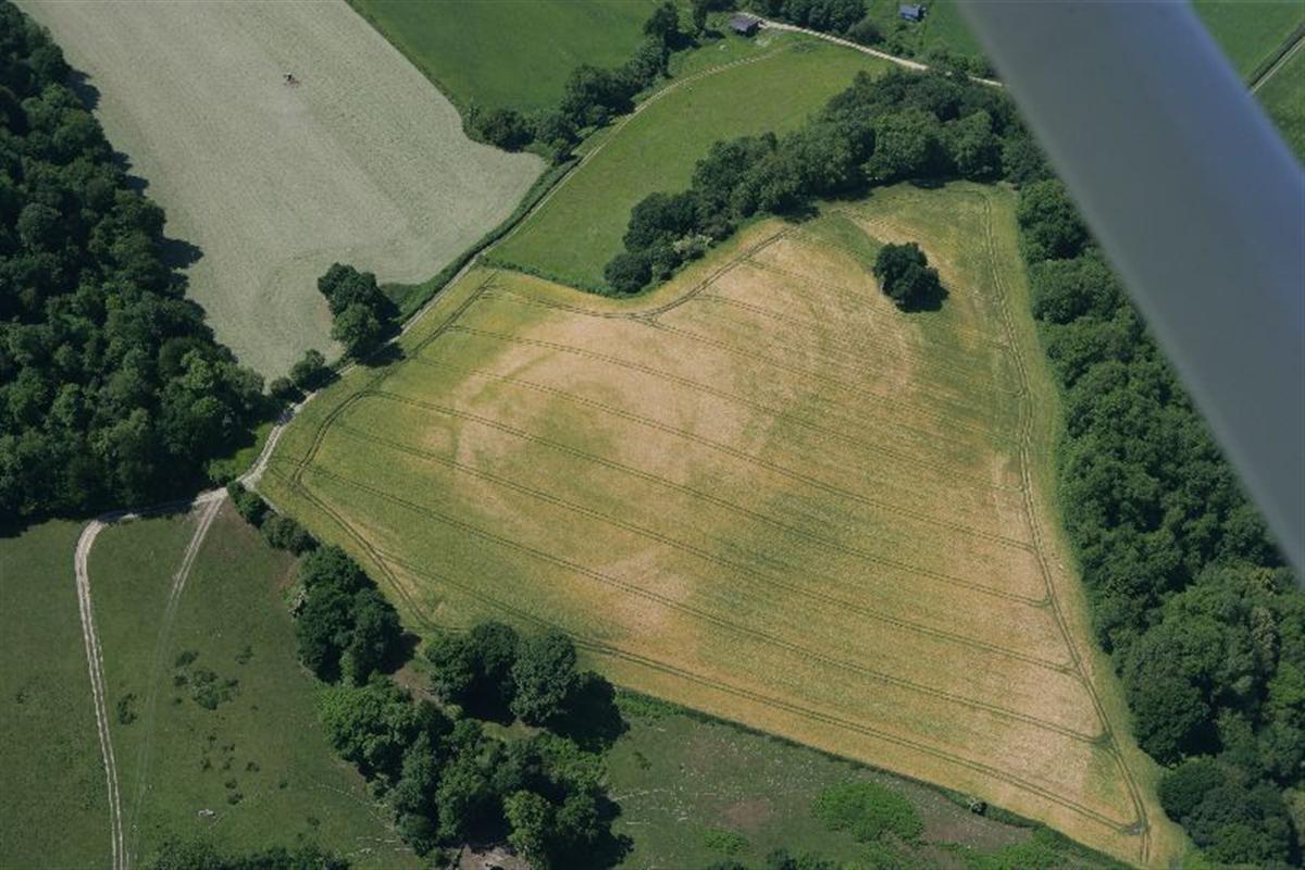
Site Description: Cropmarks in fields to the south west of Wilcrick Hill. Defended Enclosure visible from aerial photography.
- Caerleon linear crop mark feature
Map Reference: ST39SW
Grid Reference: ST3442391274
Period: Roman, Unknown, Post Medieval
Site Description: On aerial photography from RCAHMW reconnaissance on 27 May 2004 a linear feature of approximately 100 m length is visible in the grass. In the context of surrounding archaeological sites, this is interpreted as the site of a possible Roman camp, or it may be a post medieval enclosure. Further investigation is required.
- Penrhos cropmark
Map Reference: ST39SW
Grid Reference: ST34299162
Period: Unknown
Site Description: Cropmarks of what appears to be the part of a sharp-angled rectangular/sub-rectangular ditched enclosure, about 60m of the south-eastern and 100m of the south-western sides being visible, the latter appears to have been obscured by the earthworks of the 17th century fort: about 50m to the east is what appears to be the angle of a second ditched enclosure: quantities of Roman material has been recorded in this area.
- Llanmelin Woods cropmarks
Map Reference: ST49SE
Grid Reference: ST4654292733
Period: Unknown
Site Description: Non-archaeological cropmarks 300m west of Llanmelin Wood Hillfort. Noted on aerial photograph taken in April 2015.
- Howick Cropmark complex
Map Reference: ST59NW
Grid Reference: ST50329518
Period: General
Site Description: A cropmark complex, c.100m across, thought to represent natural features.
- Graig Olway linear cropmark feature
Map Reference: SO30SE
Grid Reference: SO39170020
Period: Unknown
Site Description: Cropmark of a linear ditched feature, running NNW-SSE for at least 320m, from SO39110035 to SO39220005, of uncertain date and purpose.
- Graig Foel cropmark complex
Map Reference: SO30SE
Grid Reference: SO3668201046
Period: Unknown
Site Description: A cropmark complex on the summit of Graig Foel. There appears to be a near rectangular enclosure in the region of 50m across with at least one rounded or irregular corner. This is crossed by what is probably a comparatively recent field boundary. Immediately to the south there appears to be a faint near square enclosure in the region of 12-20m across with at least one rounded corner.
The larger enclosure is likely to be a later Prehistoric style settlement enclosure. Given the proximity of the Roman settlement at Usk, originally a legionary fortress, it is possible that the small enclosure is a minor Roman military enclosure.
- Hanging bank cropmark
Map Reference: SO30NE
Grid Reference: SO37760697
Period: Unknown
Site Description: Linear cropmarks of a ploughed out double-ditched boundary at Hanging Bank, in fields to the west of Bettws. Visible during RCAHMW aerial reconnaissance 11th June 2009. Uncertain date or origin.
- Cropmarks near Monmouth
Map Reference: SO41SE
Grid Reference: SO490112
Period: Unknown
Site Description: Non-archaeological cropmarks in field 2km south west of Monmouth.
- Llanthewy Wood
Map Reference: SO31SE
Grid Reference: SO35761353
Period: Unknown
Site Description: Cropmarks, possibly natural, appear to show the E part of a sub-oval/polygonal double ditched enclosure, c.90m NE-SW by at least 45m. The feature occupies the butt end of an E-facing promontory.
- Linear cropmark west of White House
Map Reference: SO31SE
Grid Reference: SO39151466
Period: Unknown
Site Description: Indistinct linear cropmark features on generally low lying ground, west of Llantilio Crossenny.
The features extend up to 85m north-north-west to south-south-east & consist of up to three parallel lines in the region of 20m across overall.
- Norton grassmarks
Map Reference: SO41NW
Grid Reference: SO44301995
Period: Unknown
Site Description: SW part of apparent rectangular enclosure, c.70m NW-SE, closed by possible rectangular structures on SE.
- Hilston Park Crossway cropmark I and II
Map Reference: SO41NE
Grid Reference: SO453189
Period: Unknown
Site Description: 1. Noted by CR Musson during air survey in 1989 as 'Hilston Park/cropmark, enclosure?'.
2. Feature corresponds to portion of track between Crossway & Little Hilston, depicted on OS County series (Monmouth. VIII.2 1882).


Comments: Our rules
We want our comments to be a lively and valuable part of our community - a place where readers can debate and engage with the most important local issues. The ability to comment on our stories is a privilege, not a right, however, and that privilege may be withdrawn if it is abused or misused.
Please report any comments that break our rules.
Read the rules hereLast Updated:
Report this comment Cancel