
DIGITAL services to provide flood risk, river level, rainfall and sea level information those at risk in Wales, have been updated by Natural Resources Wales.
River Level, Rainfall and Sea Data (RLRS), Flood Warnings and Alerts (FWAA) and 5-Day Flood Risk (5DFR) services launched today on the NRW website.
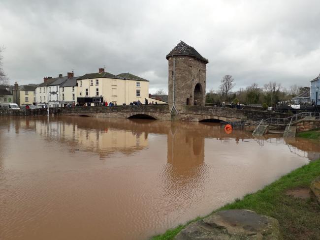
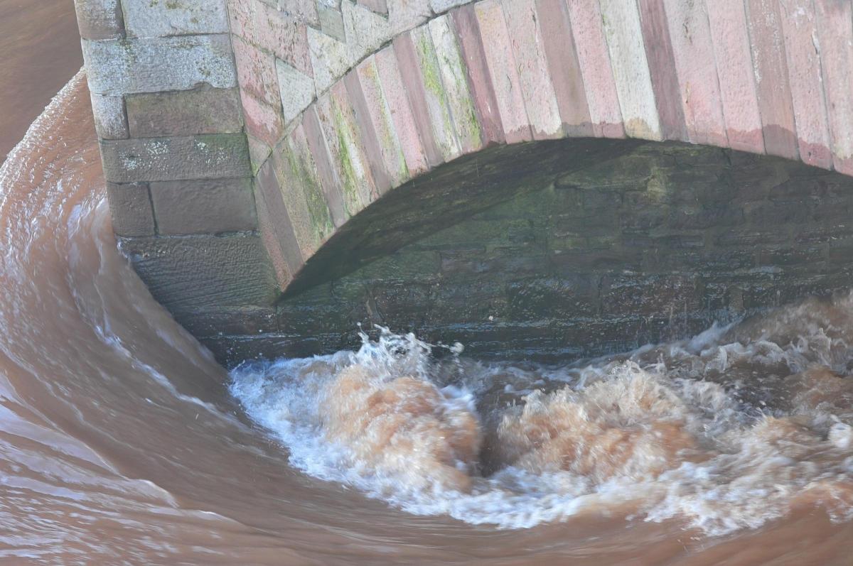
They aim to improve how live flood warning and water level data is shared before and during flood events, such as those as a result of Storms Ciara and Dennis which submerged large areas of Gwent last February.
The River Level, Rainfall and Sea Data service, which provides live data from more than 400 monitoring stations across Wales, also aims to be a valuable resource for recreational river users, such as anglers and water-based activity enthusiasts.
Jeremy Parr, NRW’s Head of Flood and Incident Risk Management said: “Flooding can be devastating, and it is important that there is comprehensive flood risk and river level information available to everyone.
READ MORE:
- Gwent coronavirus test results among 18,000 put online by mistake
- Second coronavirus wave is greatest fear of doctors in Wales
- Views sought on garden waste collection in Monmouthshire
“The very wet winter period and this year’s flood events in several communities across Wales have shown the significant impacts flooding can have on families, businesses and communities.
“The scientific consensus is that our climate is changing and extreme weather events like those experienced this year will become more common.
“This means that we will all need to change and adapt to make ourselves as resilient as possible to the impacts which climate change will continue to have on our communities.
“We remain determined to work in partnership to build that resilience and enhance our readiness to tackle the climate emergency as a collective.”
The new services feature a number of improvements to the existing Check River Levels and Check Flood Warnings pages on the NRW website.
The new services can be accessed via the links to the existing Check Flood Warnings and Check River Levels pages on the NRW website, available at naturalresources.wales/flooding


Comments: Our rules
We want our comments to be a lively and valuable part of our community - a place where readers can debate and engage with the most important local issues. The ability to comment on our stories is a privilege, not a right, however, and that privilege may be withdrawn if it is abused or misused.
Please report any comments that break our rules.
Read the rules here