


THIS is an easy circular walk of about 4.5 km (three miles) in fields and on country lanes with good views over the Severn Estuary.
Start: Millers Arms, Mathern, near Chepstow.

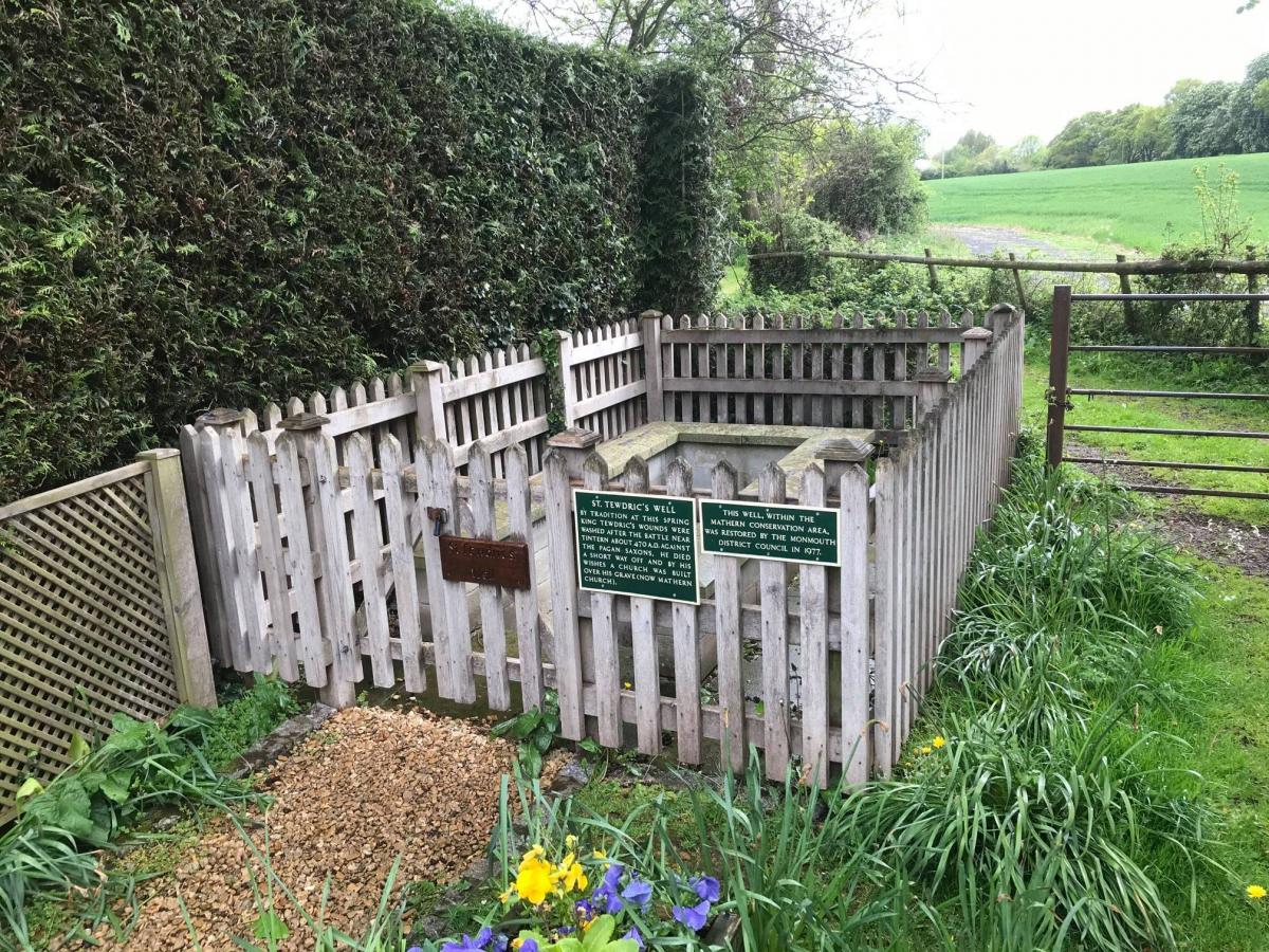
Cross the road, turn left and about 100 metres after passing under the bridge you will see St Tewdrics Well, where the Celtic King Tewdric died in about 470 AD. According to legend, he was wounded in a battle with the Saxons at Angiddy near Tintern.

St Tewdrics Well, Mathern. Picture: David Barnes
Two stags came out of the forest and were hitched to a cart which carried him to this spot where he died and was buried nearby. The water in the well is said never to freeze, providing a reliable source of drinking water for livestock, even in bitter winters.
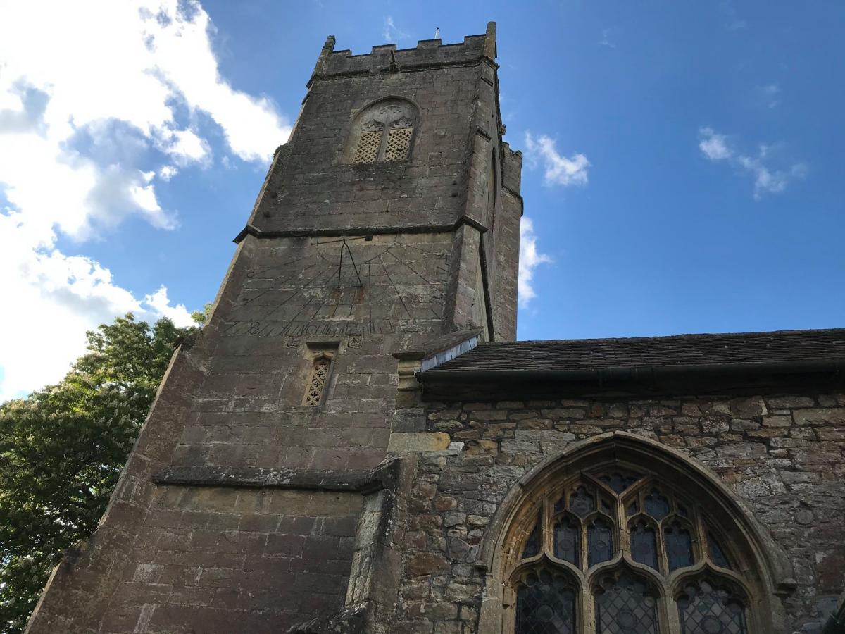
Carry on along the road for about 300 metres to a sharp right hand bend, with Innage Farm on the corner. Continue on around the bend to Mathern Church and, further along to the left of the church, a view of Mathern Palace. The church is dedicated to St Tewdric.

Mathern Church. Picture: David Barnes
Dating mainly from the 12th century, although there are some 7th century remains, it is a Grade I listed building. The bell tower, added in the 1480s, has a peal of six bells which were cast in Chepstow in 1765, at a cost of £28-6s. Each bell has an inscription around the barrel such as “Prosperity to the Parish” and “Peace and good neighbourhood”. They were restored in 1970 and are regularly rung.
Leave the churchyard by the main gate, turn right and continue along the lane for about 100 metres to view Mathern Palace, now a private property.
Built in the early 14th century, the house was partly demolished in the 1770s but restored in 1894 by Henry Avray Tipping, who later became architectural editor of Country Life magazine.
Tipping was not only a leading authority on the history, architecture and furnishings of Welsh and English country houses but also one of the most famous garden designers of his era. He
was a great friend of Gertrude Jekyll and is best-known for gardens designed in the Arts and Crafts style. He also designed a similar garden at nearby Mounton House (which at one time needed 12 gardeners to maintain it) besides others in Monmouthshire. His best known work is probably that of the walled garden at Chequers, the country residence of all British prime ministers.
Retrace your steps back to the corner near Innage Farm and go through the kissing gate immediately to the left of the farm entrance.
MORE NEWS:
- Nathan Wyburn exhibition in Morgan Arcade Cardiff
- Dog walker finds WWII 'explosive' device in Cwmbran woodland
- Long lost family: the search for two Blaenau Gwent sisters
Keeping close to the right hand field boundary, cross two more stiles.
Turn left along a wide track, cross the bridge, turn immediately right, and then left over a stile after about 30 metres.
Follow the hedge on your right to the top of the field, climb up the small hump on your left and turn around. You are now standing on the remains of a World War II lookout bunker, which commands good views of the Severn Estuary.
The Severn is the longest river in the UK, with the second highest tidal range in the world. The Severn Bridge (opened in 1966) is on your left while the Second Severn Crossing - now known as the Prince of Wales Bridge - (opened in 1996) is on your right.
You may also see a small island at the end of the Beachley peninsula, on the right of the Severn Bridge. The remains of a chapel dedicated to sixth century Welsh saint, St Twrog, are sited here but the treacherous Severn tides make it too dangerous to visit.
Carry on along the path through four metal kissing gates until you find yourself on Barn Lane. Cross the lane, go through another kissing gate and turn right to yet another kissing gate.
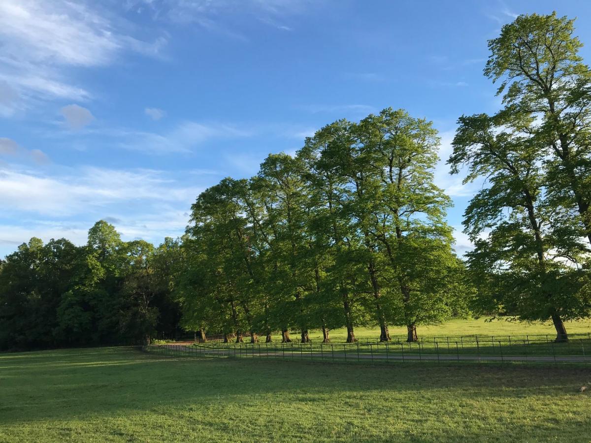
Now go diagonally left across the field to a stile, across this field to another stile and then a third field to go through a pair of metal squeeze stiles. Here, the path crosses the driveway to ‘Wyelands’. This Grade II listed Georgian mansion was built around 1820 and its parkland and gardens completed at around the same time.

Passing through Wyelands at Mathern. Picture: David Barnes
Carry straight on to another metal squeeze stile and across the next field, looking out for a glimpse through the trees to your left of ‘Wyelands’.
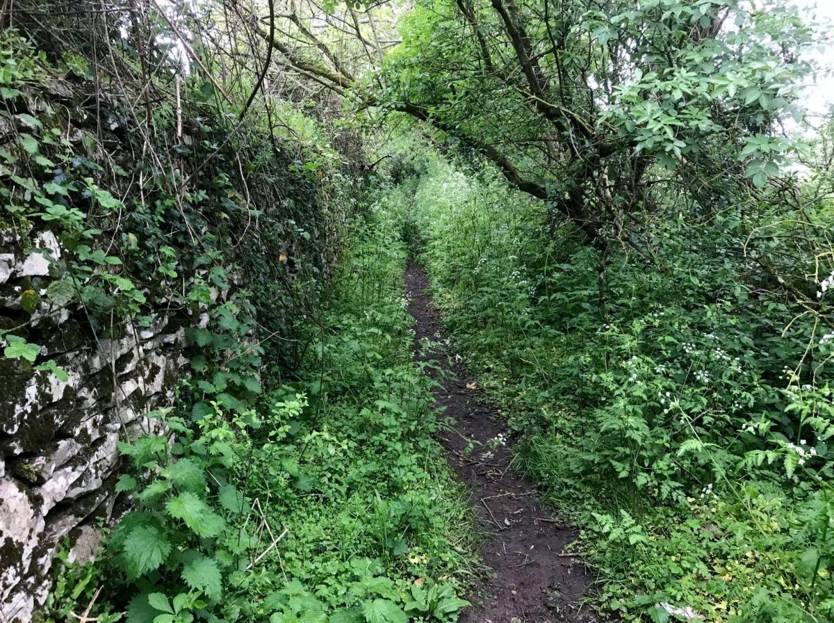
Also take time to admire the line of beech trees, known as Coopers Brake, stretching in front of you and to the right. When you come to a stile do not cross it, but turn left to follow the field boundary to a stile in the corner of the field and then on to a narrow track, known as Snakey Lane because it’s walls once reputedly harboured snakes (but not now!).

Snakey Lane, Mathern. Picture: David Barnes
This eventually widens to a narrow lane, Arnolds Lane which was known as the Holloway in the late 1600s. Its name was changed when various members of the Arnold family moved in to several of the cottages located here.
Follow the lane as it winds past Mathern Athletic Club and then, back to the Millers Arms where your walk began.
This walk came from www.visitmonmouthshire.com/things-to-do/short-walks-in-monmouthshire.aspx# where you can find more walks in the locality.


Comments: Our rules
We want our comments to be a lively and valuable part of our community - a place where readers can debate and engage with the most important local issues. The ability to comment on our stories is a privilege, not a right, however, and that privilege may be withdrawn if it is abused or misused.
Please report any comments that break our rules.
Read the rules hereLast Updated:
Report this comment Cancel