

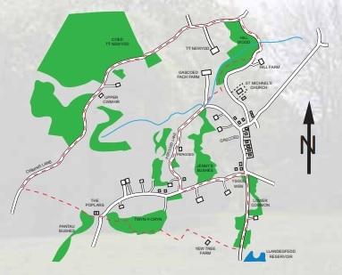
THIS walk through Glascoed follows country lanes, footpaths and woods in and around the village for a distance of about 2.5 miles, which should take about two hours to complete.

Start at: Glascoed village, opposite the old school house, Ysgol Wen, approximately 50m from cross roads in the direction of the reservoir.
A parking space for about two cars should be available opposite Ysgol Wen.
From this point proceed along the road towards Llandegfedd Reservoir, passing Llanbadoc Lower Common on the left.
About 100m beyond the entrance to Oak-tree bungalow you will see a way-mark sign on the left which will take you through woodland and eventually back onto the road near metal gates leading to the reservoir.
At this point a farm drive will take you towards a white farmhouse, Yew Tree farm. At Yew Tree you should skirt to the right of a white building and pass through a white wooden farm gate.
MORE NEWS:
- Nathan Wyburn and Tredegar Comprehensive School's artwork
- Banned Gelligaer drink driver caught twice in 11 days
- Teenage drug dealer from Newport made nearly £40k
Follow this upwards towards a stile and across a field with a deep gully on your left. At the top left-hand corner of the field you will find a small wooden gate leading up a path to the corner of Twyn-y-cryn which is an ancient woodland forming part of the Glascoed Commons.
At the entrance to this woodland skirt to the left and follow a worn track which will take you along the top of the wood for about 300m after which walk down towards the bottom path which, on turning left, will lead you further through the wood for about 200m.
Here you should bear to the right, cross a small stream and passing upwards, past some boulders to emerge on the parish road opposite two cottages.
Cross the road at this point and, stepping over a steel gate, walk on for about 100m – keep the cottages on your right but do not re-enter the woodland on your left, Pantau Bushes.
Cross over the stile and into a field. The path will then take you along the bottom edge of three large fields and out onto Cwmhir Lane. Follow the road uphill towards Upper Cwmhir (Long-Valley) where it merges into a "leafy lane".
Follow this track, past the woodland, Coed Tŷ Newydd on your left, down hill and through a wooden farm gate.
The track will then lead to a metal farm-gate and out on to a road leading to the old farmhouse, Tŷ Newydd (New House farm).
According to J.A. Bradney's "A History of Monmouthshire" this farmhouse was part of the Hanbury estate and had an old fire-back enscribed "1681 WWB" which was evidence of its antiquity.
About 200m from the farm-gate the road will make a right-hand turn to Tŷ Newydd and here you will see a green metal gate in front of you.

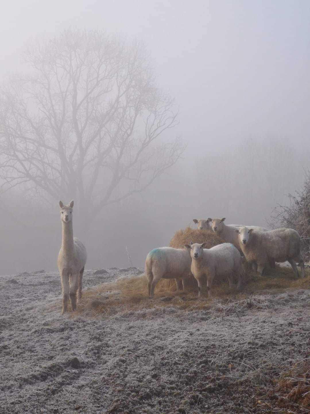
An early morning walk through the lanes around Glascoed. Picture: Fatma Richards, South Wales Argus Camera Club
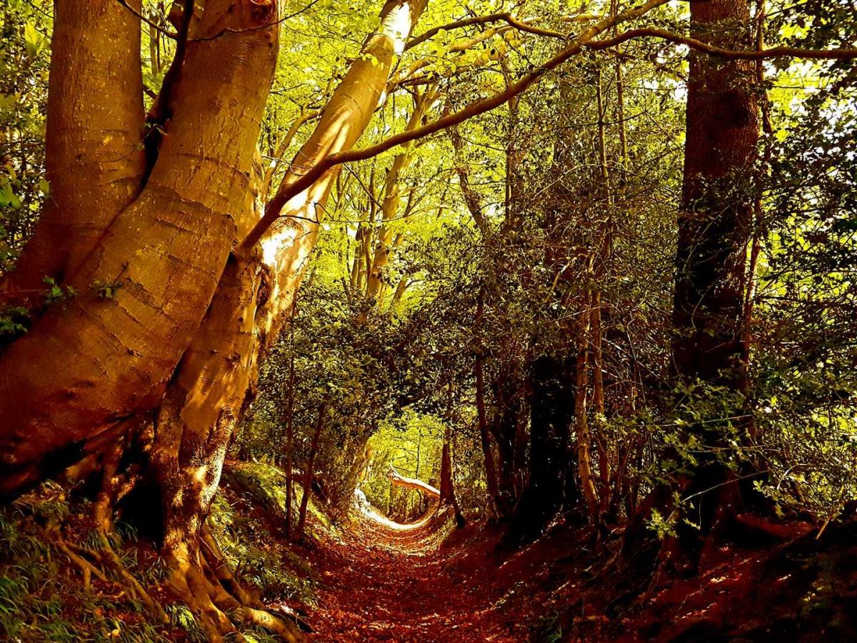
Pass through this gate and down the track with Hillwood on your right hand side. This track is part of "Rumble-Street" and if followed will lead out onto the A472 at Monkswood. Note vestiges of laid cobbles along the track which is evidence of its age and importance in times past.
The name "Rumble-Street" is said to refer to the rumble of carts carrying iron stone to a pre-industrial revolution iron-smelting furnace which was located in a field just south of the A472. Evidence of the existence of the furnace can be seen in soil discolouration and slag deposits on this site. Small ironstone deposits and workings are to be found in woodlands above Little Mill.
At this point, instead of walking straight on to Monkswood, you should turn right and follow the track over a small bridge and up a steep slope where it will emerge on to a metallised road at Hill House.
However, don't follow the road but instead turn right where a way-mark sign indicates a footpath leading through Hill wood.

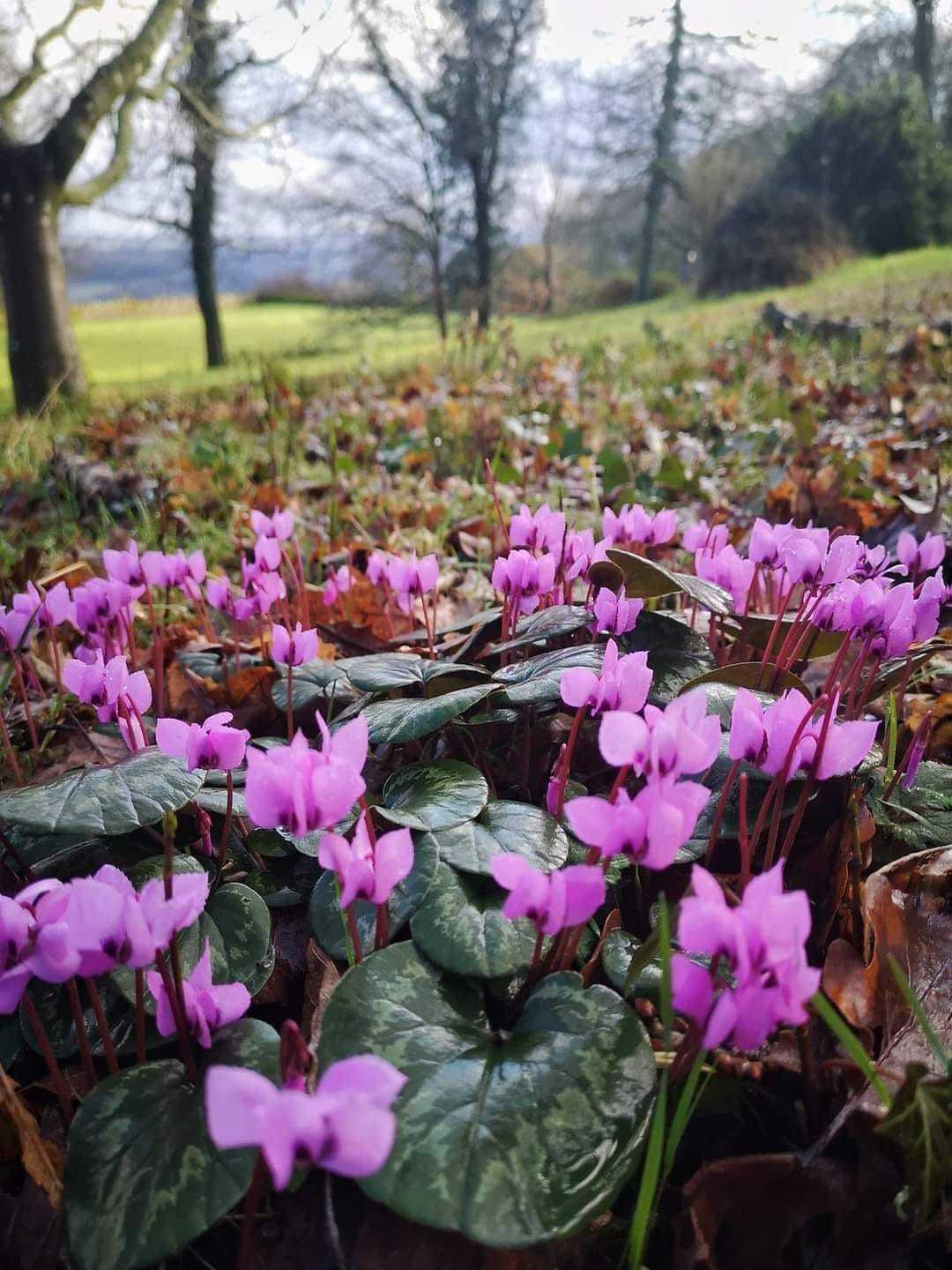
Wild cyclamen from Glascoed. Picture: Fatma Richards, South Wales Argus Camera Club
Follow this footpath through the wood, with the stream below you on your right hand, up a slope until you come to a wooden gate which gives entrance to a private garden through which you have access, provided you keep to the footpath. Crossing the garden, with the house on your left, the path leads to a lane where you should turn right and follow the track downwards, across the stream on to the path where it will merge onto a road leading to an early 18th century farmhouse, Glascoed Fach.
About 50m from the entrance to Glascoed Fach turn right onto a sign-posted bridleway, known as Pergoed Lane. Proceed for several hundred metres along this track which leads to the Pergoed farmhouse.
Passing the farmhouse on your left go up the hill and out onto the parish road where, at this junction, you should turn left and follow the road downhill for a couple of hundred metres until you reach your starting point at the Glascoed cross-roads and Ysgol Wen.
This walk is among others which can be found at www.monmouthshire.gov.uk/walks-and-trails/.


Comments: Our rules
We want our comments to be a lively and valuable part of our community - a place where readers can debate and engage with the most important local issues. The ability to comment on our stories is a privilege, not a right, however, and that privilege may be withdrawn if it is abused or misused.
Please report any comments that break our rules.
Read the rules here