
A SMALL earthquake recording a magnitude of two was recorded near a Welsh town on Thursday, October 27.
The British Geological Survey said the tremor was detected by sensors at 12.27pm around four miles south of Llanwrtyd Wells, Powys.
According to scientists, the epicentre was six kilometres, or 3.7 miles, below the surface. It is the second strongest earthquake to have been recorded in the UK during the past 60 days.
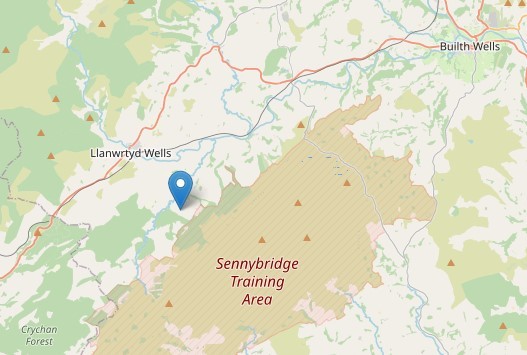
A small earthquake recorded four miles south of Llanwrtyd Wells on October 27, 2022. Image by Open Street Map
In general, earthquakes cannot be felt if they are less than magnitude two but the British Geological Survey would like to hear from people who may have felt it to help with their studies about the effects of seismic events.
Wales has regular active Earth movements because there are several long-active fault systems across the country. The Menai Strait in North Wales is the most seismically active area in Wales and one of the most active in the UK.
The most recent significant earthquake which recorded a magnitude of 4.6 happened between Ystradgynlais in South Powys and Ystalafera on February 17, 2018.
A major earthquake happened on April 2, 1990 along the Welsh border which the epicentre was initially identified as being in Bishop's Castle but was later revised to be just inside the Powys border.
The magnitude 5.1 event was felt over an area of around 140,000 square kilometres and was followed by six aftershocks.


Comments: Our rules
We want our comments to be a lively and valuable part of our community - a place where readers can debate and engage with the most important local issues. The ability to comment on our stories is a privilege, not a right, however, and that privilege may be withdrawn if it is abused or misused.
Please report any comments that break our rules.
Read the rules here