

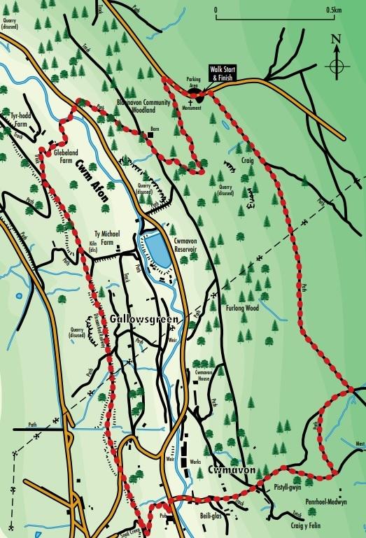
THIS pleasant walk will take around the Cwmafon Heritage Trail.
Begin at Capel Newydd viewpoint parking area and picnic site, on Llanover Road about 1.5 miles outside Blaenavon.

A non-conformist chapel was built here around 1750 by two wealthy ladies of Blaenafon. An iron cross is all that remains of the chapel, but the site is still known locally and marked on maps as Capel Newydd.
This chapel once served the valley around Blaenavon as the chapel of ease for Llanofer Church. In 1860, it was abandoned and its stone was quietly robbed to repair other buildings in the area. The site has not been completely abandoned as occasional open-air services are still held at the cross.
From the parking area, and facing the cross, turn right along the road, back towards Blaenavon as far as the corner of the conifer plantation.
Follow the edge of the plantation downhill, keeping close to the fence. Cross a stile in the corner and turn left through mixed broadleaved woodland.
Go down a flight of wooden steps to the right. On the right is a well-preserved example of a limekiln. Burning lime for sale as a fertilizer was an industry followed by many people in agricultural or industrial areas. This area of woodland has many mature and very beautiful beech trees.
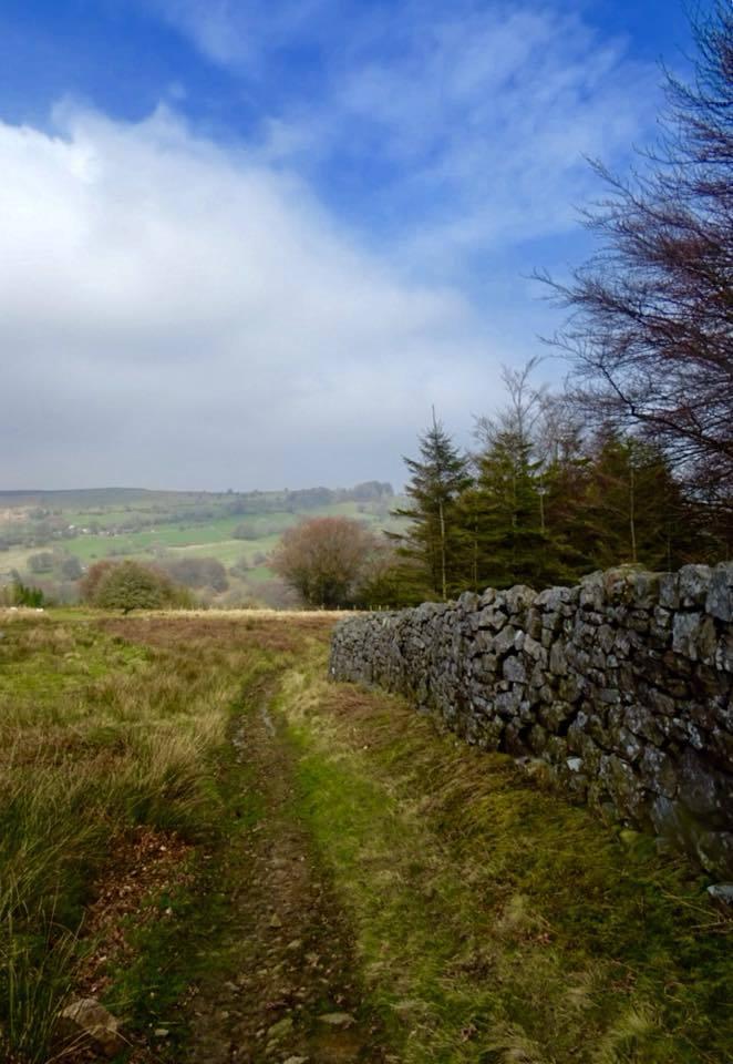
Follow the path downhill at the waymark post. Continue between stone walls, passing a ruined building. Just beyond join a wide track above a larch plantation.
Turn right and pass a well-built barn. This is part of the Blaenafon Community Woodland, and areas owned by the Forestry Commission, but involving the local community in its management and access arrangements.
Take a left fork alongside the barn, a path through larch woodland, and then mature beech trees. Turn left over a stone wall and over a gate to join the road. Cross over carefully and through a gate opposite onto a drive.
MORE NEWS:
- Feed Newport pleads for more donations
- Newport family go camping with a TV presenter Julia Bradbury
- Pontypool woman speeding on the same road twice in two days
Cross the footbridge over the Afon Lwyd and follow the drive around to the right, alongside the river for a short distance. Cross an old fenced railway line, following the path around to the right. This railway was the Eastern Valley Line, opened in 1854 and connecting Blaenavon and Pontypool with Newport.
Before reaching Glebeland Farm, go through a gate. Cross the field diagonally right, to reach another gate. Scramble up the steep bank on the other side to reach a path which swings around to the left, giving a less steep climb up the incline.
Just beyond the wooden fences and Victorian stone embankment walls you reach the level of another old railway. This railway is described on OS maps as a ‘Mineral Railway’, and was opened in 1878. The whole area was once a maze of rail and tramways, serving the various mines and other industrial works. Today these old railway lines are used for the Torfaen Leisure Route (National Cycle Network Route 46), which runs the length of the borough, for walkers, cyclists and horse-riders to use and enjoy.
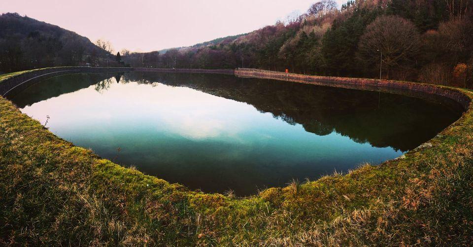
Turn left and follow the cycle way for a mile or more. Look out for reminders of the Victorian golden age of railway architecture in the bridges, embankment walls and culverts. Binoculars may be handy if you are interested in spotting birds and the fine views of Cwmafon Reservoir. This provided drinking water for the village and Forge Row on the hillside opposite, a showpiece of early industrial housing.

Cwmavon Reservoir. Picture: Craig Titchener, South Wales Argus Camera Club

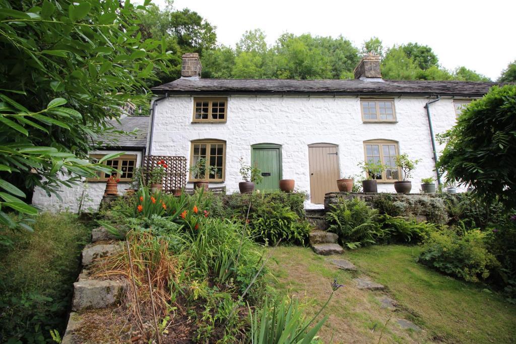
Forge Row, Cwmavon, near Pontypool
Leave the old railway immediately after the second bridge over the line. This old path, which connects Cwmafon with Varteg, is still known locally and is marked on Ordnance Survey maps as “The Snail Creep”.
Turn right down the steep, winding path. The bridge abutments are finely built and it is interesting to note that the path was lit by street lamps. The path reaches the main road next to the West Lake Arms.
Cross the road and the bridge over the Afon Lwyd. Pass a fine terrace of ironstone cottages on the left, just past the entrance to the old Westlake Brewery.

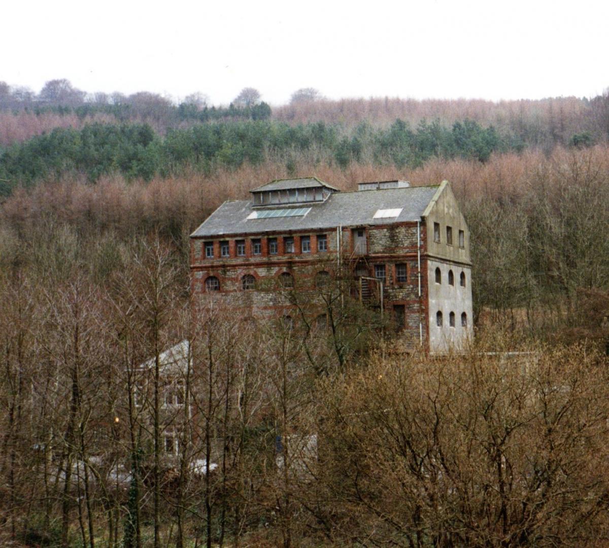
Westlake’s Brewery in Cwmavon. Picture: Torfaen Museum
Follow the road until it peters out into a path. Follow the path steeply uphill, cross a track, passing the farm Pistyll Gwyn on the right and through a gate. Continue upwards on the old Llanover (parish) Road, which is now a concrete ‘road’. Behind can be seen the Varteg, whose tips are a result of an opencast mining operation of 1948.
Near the top of the hill is a deserted farm – Pen-y-Rheol Medwyn. Bear left at the waymark post across open mountain country, heading at first towards the conifer woodland. This path is waterlogged for much of the year, follow the waymarks carefully.

The mountain near Cwmavon, Pontypool. Picture: Lindsay Williams, South Wales Argus Camera Club
The path swings right, uphill again. Almost parallel with the radio mast is a crossroads of paths. On a clear day, beyond the mast, the Severn Estuary can be seen. Turn left along another wet, muddy, but this time well trodden path, and continue for some distance, keeping the conifer wood on the left.
On reaching the corner of the plantation continue on straight keeping the plantation on your left. This is part of the Old Packhorse Trail from Medieval times.
On reaching the tarmac road (Llanover Road) turn left. Continue on for a short distance and you will arrive back at Capel Newydd, the start point.
This walk is featured on a leaflet available from www.torfaen.gov.uk/en/RoadsTravelParking/WalkingCycling/Torfaen-Walks/Cwmafon-Heritage-Trail.aspx


Comments: Our rules
We want our comments to be a lively and valuable part of our community - a place where readers can debate and engage with the most important local issues. The ability to comment on our stories is a privilege, not a right, however, and that privilege may be withdrawn if it is abused or misused.
Please report any comments that break our rules.
Read the rules hereLast Updated:
Report this comment Cancel