
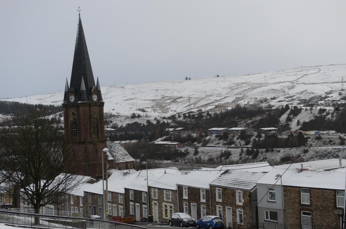
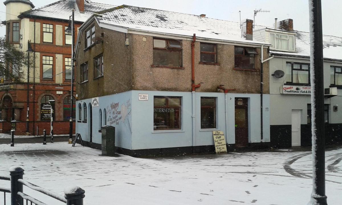
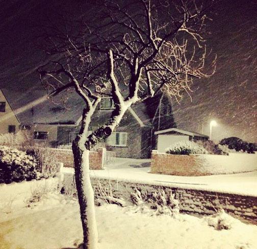
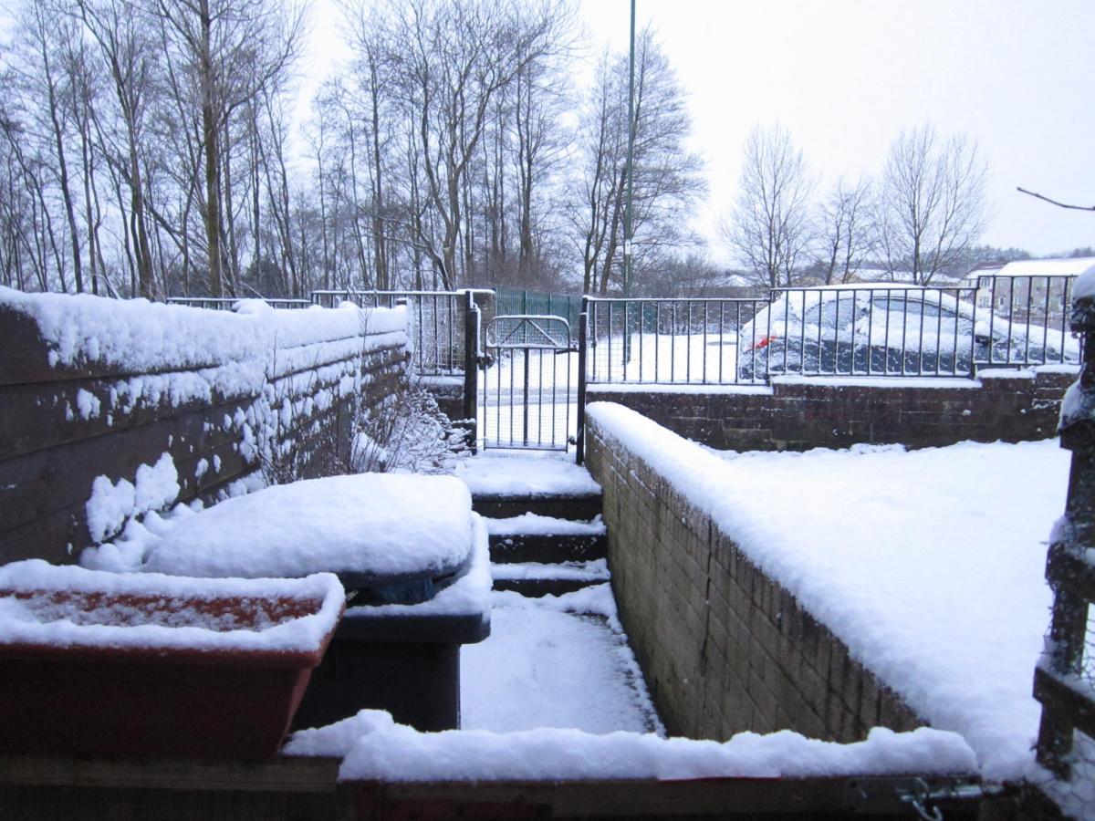
A BLANKET of snow covered parts of Gwent this morning, following an overnight blizzard in some parts.
Blaenau Gwent and Caerphilly were both affected, with a yellow ‘be aware’ weather warning of snow and ice covering both boroughs throughout the day today, up to 11am tomorrow.
The Met Office also warned that strong winds could be expected overnight with the possibility of gusts between 50 to 60mph. The strongest gusts were predicted to be between midnight and 5am in the morning.
Ebbw Vale, Beaufort and Rassau saw heavy snowfall, with up to two inches reported in Brynmawr.
Shots of picturesque white mountains were sent in from Blaenau Gwent, with snow reducing to sleet further down in Pontypool.
The higher parts of Monmouthshire and Torfaen also saw snow fall, and there were flurries in Newport.
Stagecoach Wales said that "technical difficulties" had caused disruption to some Cwmbran town services. While the E2 from Cwmbran was also appeared to have been hit by the weather.
The Met Office said it expected one to three centimetres of snow to fall over low levels in Wales throughout the day, but estimated that could increase to five to ten centimetres over higher ground.
Tonight the forecast is for cold with wintry showers, with outbreaks of rain, sleet and hill snow. Frost was said to be likely as temperatures plummeted to -1 degree celsius in places.
Tomorrow, the forecast remains cold, breezy and generally cloudy, with further outbreaks of rain, sleet and hill snow likely.
Most areas are unlikely to see large amounts of snow, but icy stretches are likely to form on untreated surfaces, it was predicted.
It will become brighter later in the day with some sunny spells and wintry showers developing. A maximum temperature is forecast of around 7 degree celsius.
Over the weekend northerly winds are predicted to become established through Saturday drawing in colder air.
The weekend looks to be a mix of sunshine and scattered snow showers, according to forecasters.


Comments: Our rules
We want our comments to be a lively and valuable part of our community - a place where readers can debate and engage with the most important local issues. The ability to comment on our stories is a privilege, not a right, however, and that privilege may be withdrawn if it is abused or misused.
Please report any comments that break our rules.
Read the rules here